
Atlas Obscura.
Since leaving New Orleans, I have recovered from an allergic reaction, visited Elvis's birthplace, explored the world's largest to scale model of the Mississippi River, and driven almost all of the Natchez Trace Parkway. I've been busy.
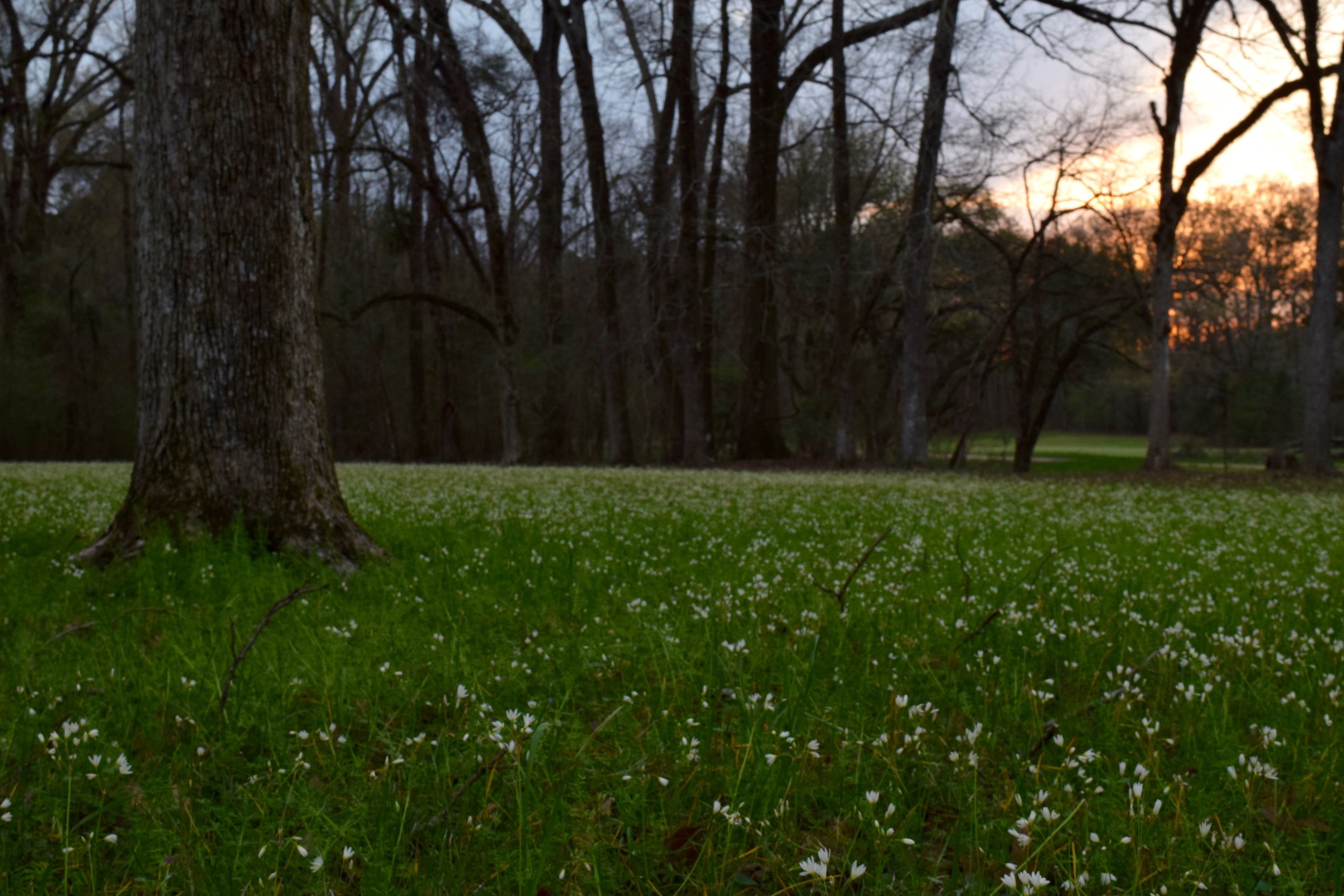
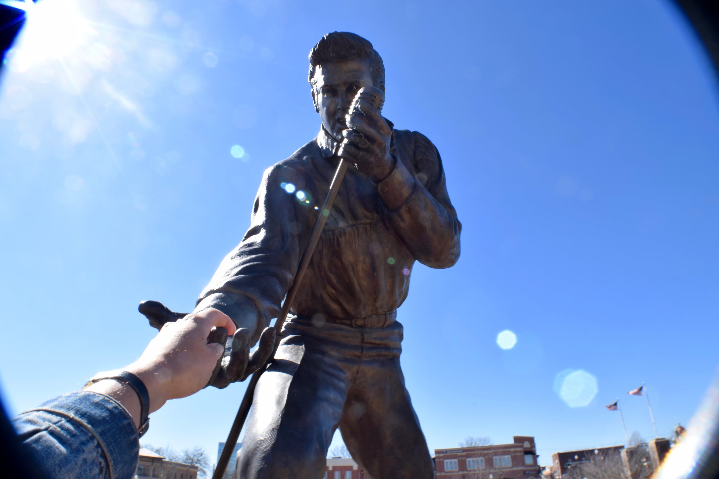
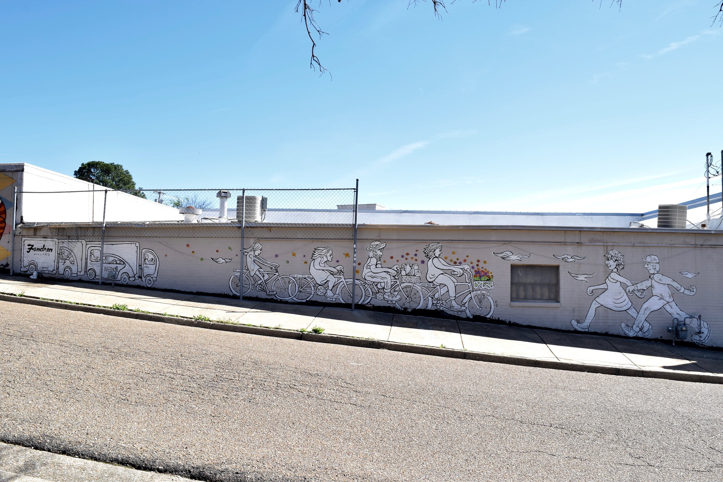
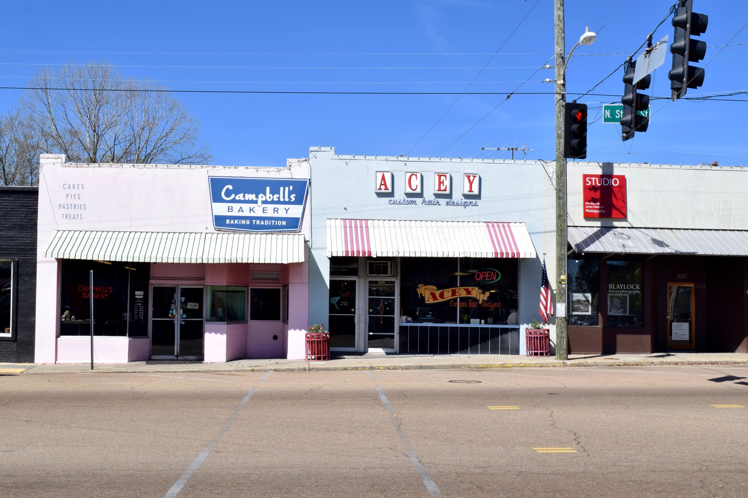
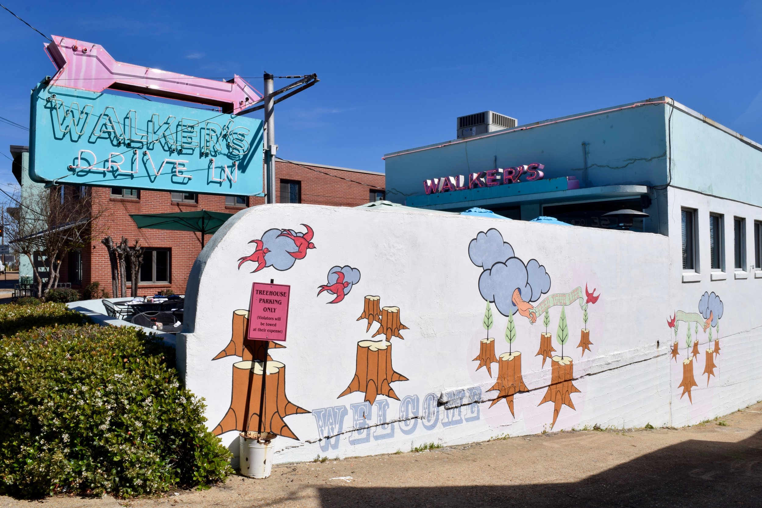
I am backtracking slightly, but that's ok. I have time to do things the way I want and not miss anything. When I left New Orleans I knew I had a few stops in Mississippi I wanted to hit before arriving in Nashville, Tennessee. One of which, was to drive the entirety of the Natchez Trace Parkway. It's a two lane, 444 mile road that is protected by the National Park Service. The Trace, believe it or not, actually goes through three states. It begins (or ends) in Natchez, Mississippi, a cute little town along the river on the southwest corner of the state, cuts briefly through the northwest corner of Alabama and ends near Nashville, Tennessee. Way back, prehistoric animals followed the "Old Trace". Then came the Native Americans who used the pathways created by the large mammals to their advantage. The scenic drive along the Trace was similar to the Blue Ridge Parkway, only without the mountain ranges. Some of the trees lining the drive were bare, some were plush and looked like spring had begun. Smaller trees scattered in between them were covered in small purple flowers, making the slow drive seem worth it and a little more special. Along the way I stopped in Tupelo, MS, the birthplace of Elvis Presley. In 1956, Elvis came back to his hometown to put on a show during which he was photographed reaching down and touching the crowd. There is now a statue in the same spot where he performed making the same gesture. I made it a point to go and take Elvis's hand; a worthy pit-stop.
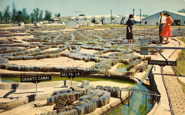
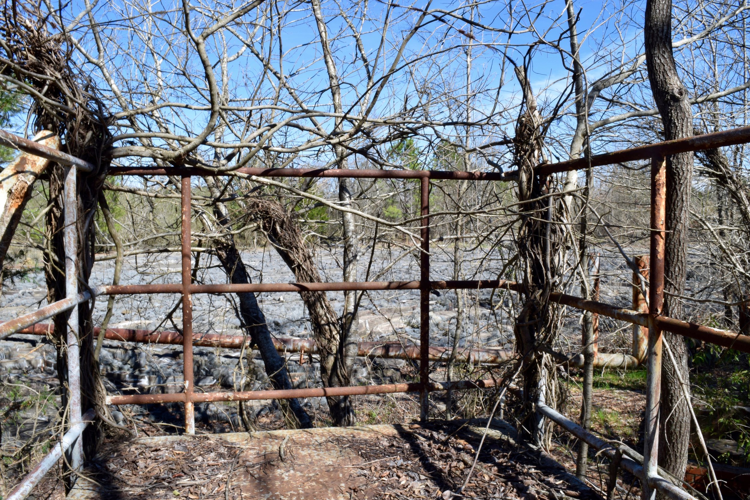
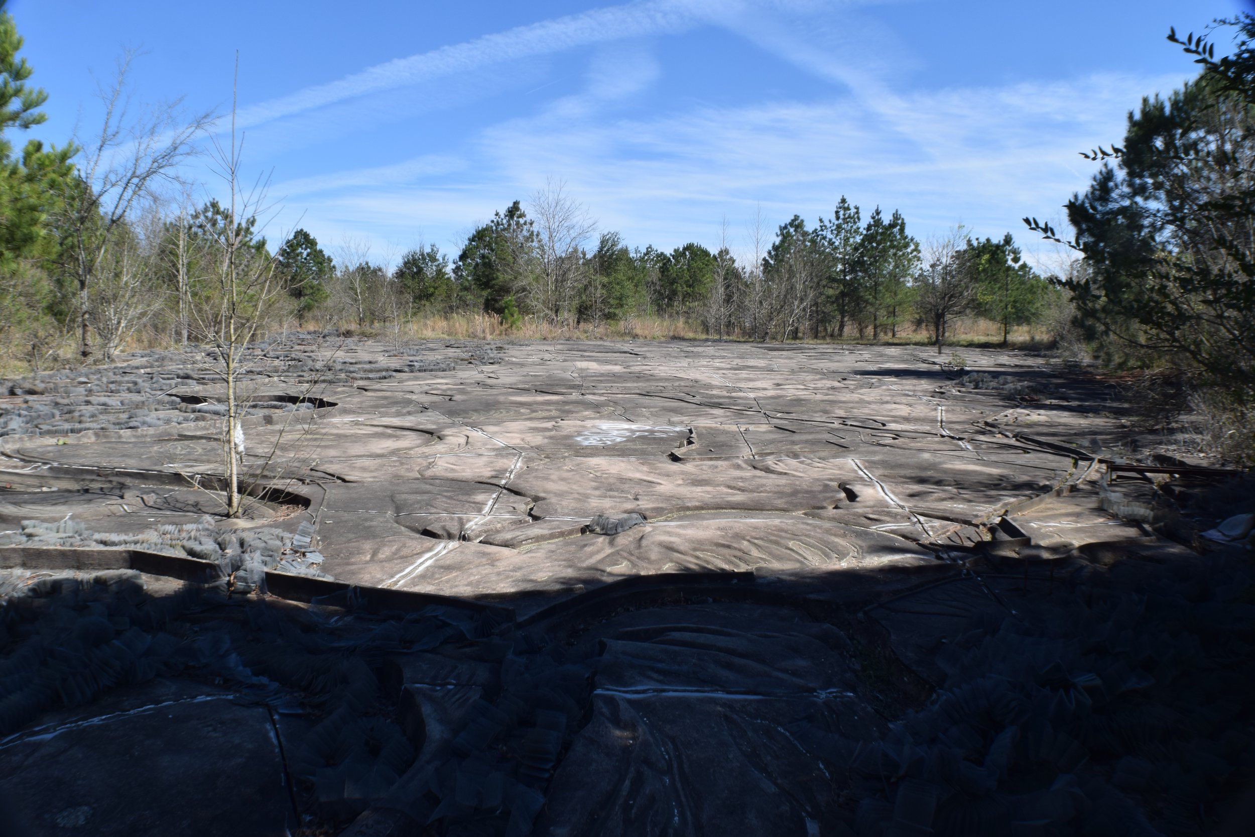
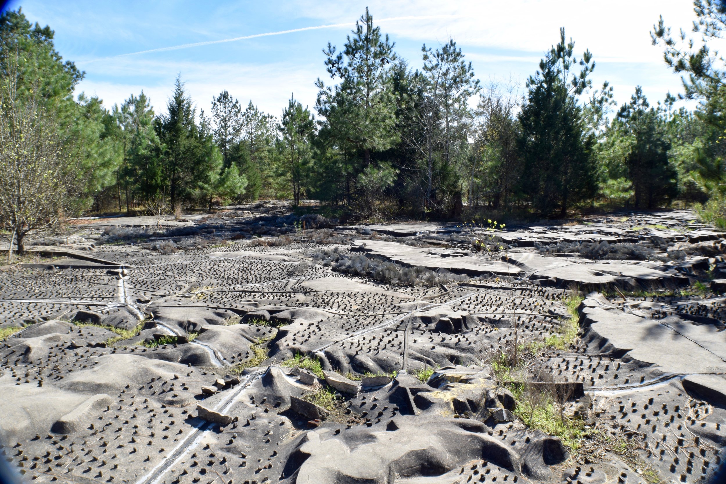
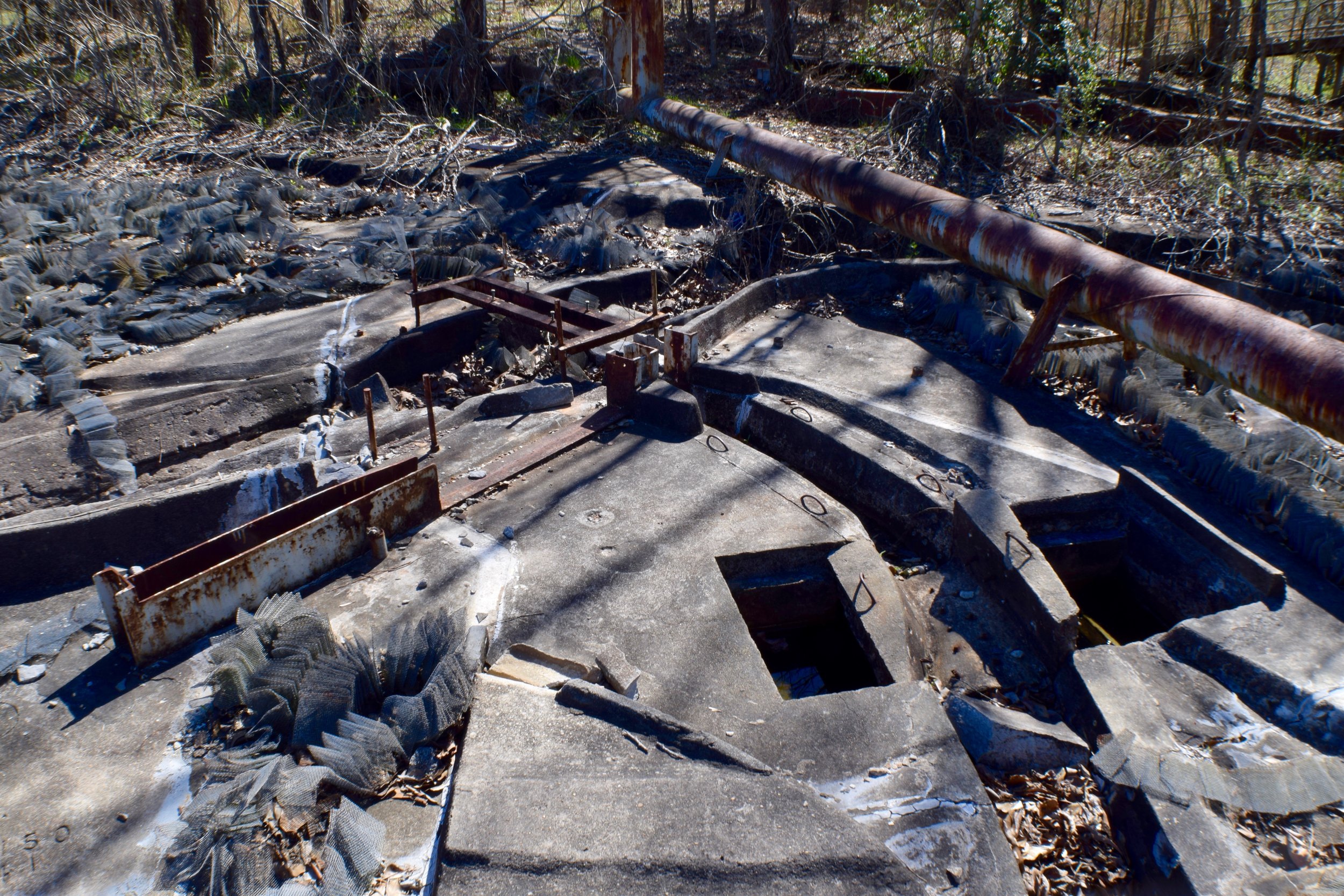
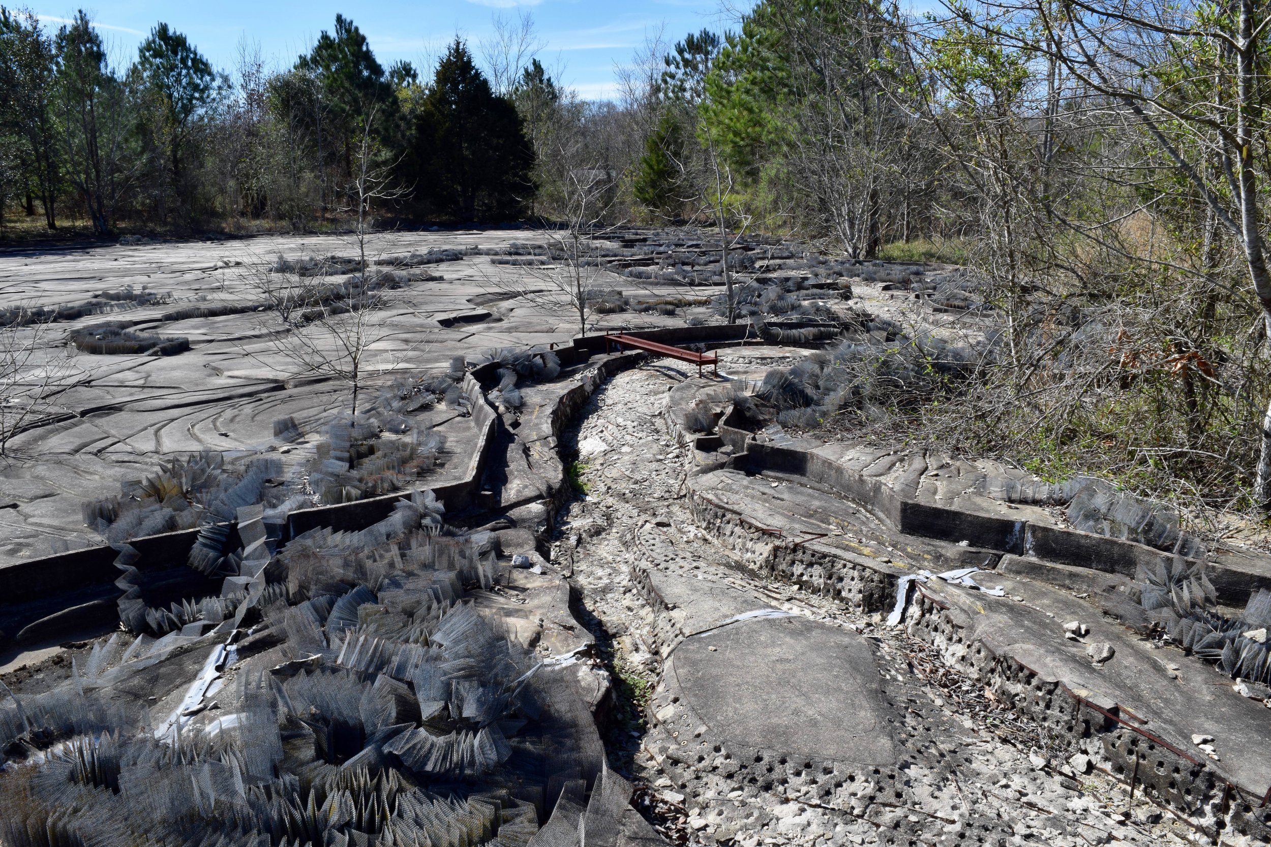
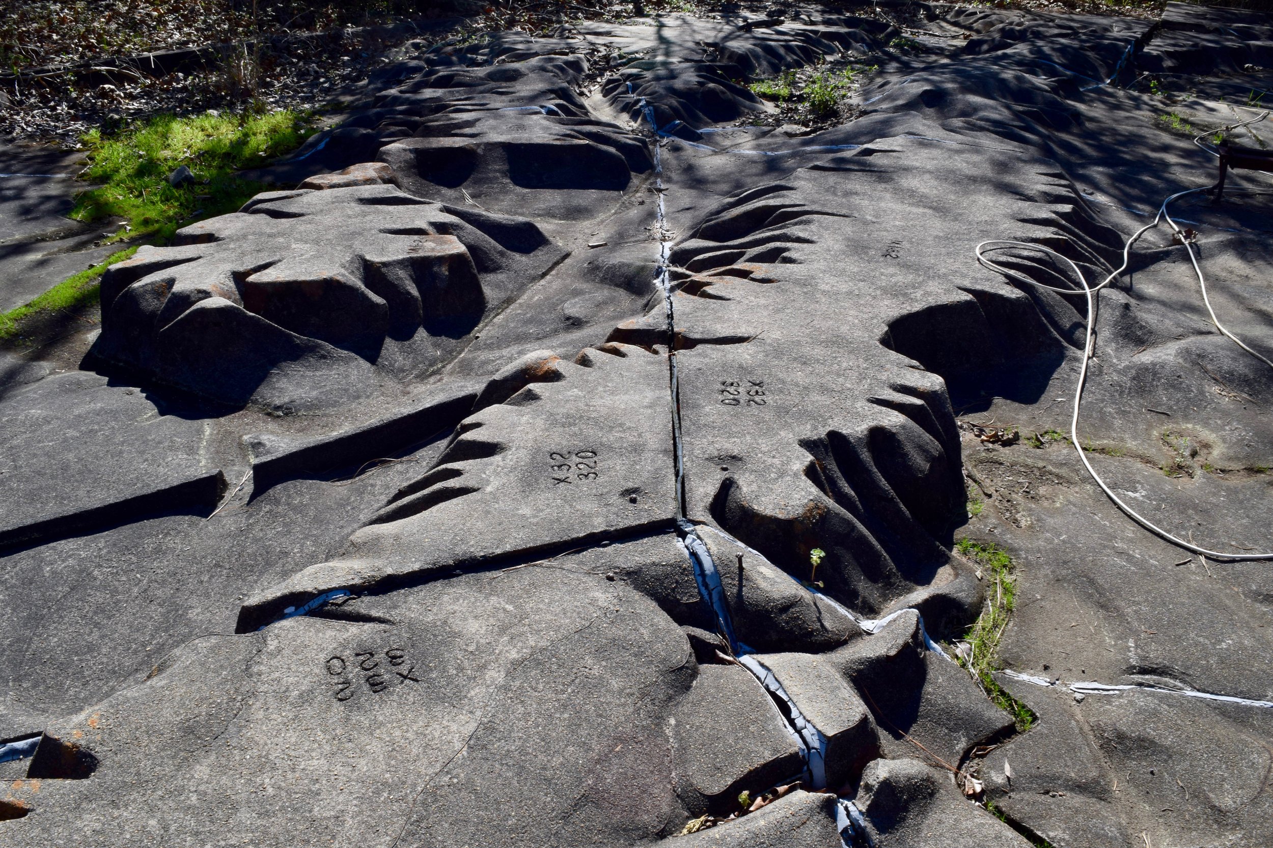
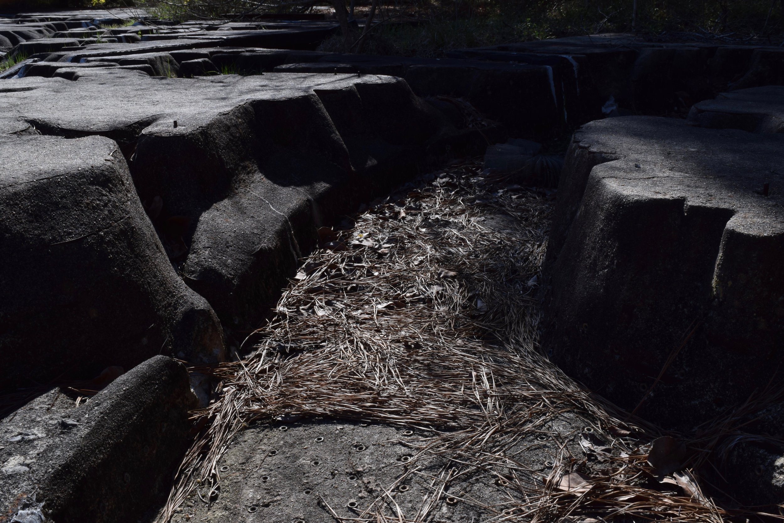
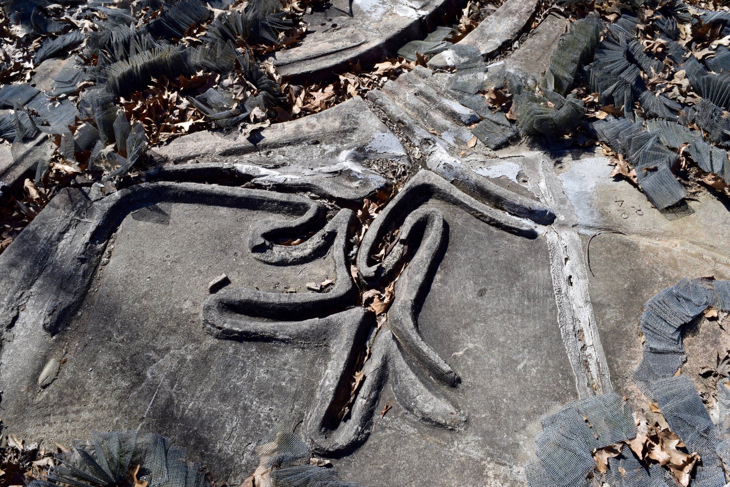
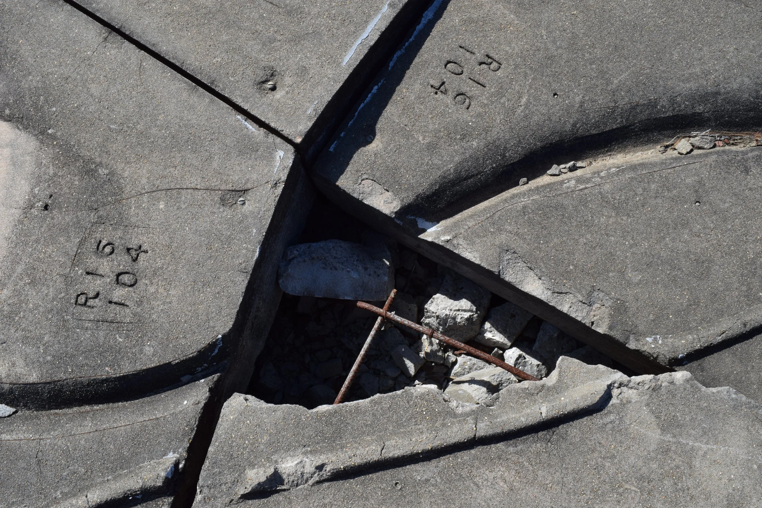
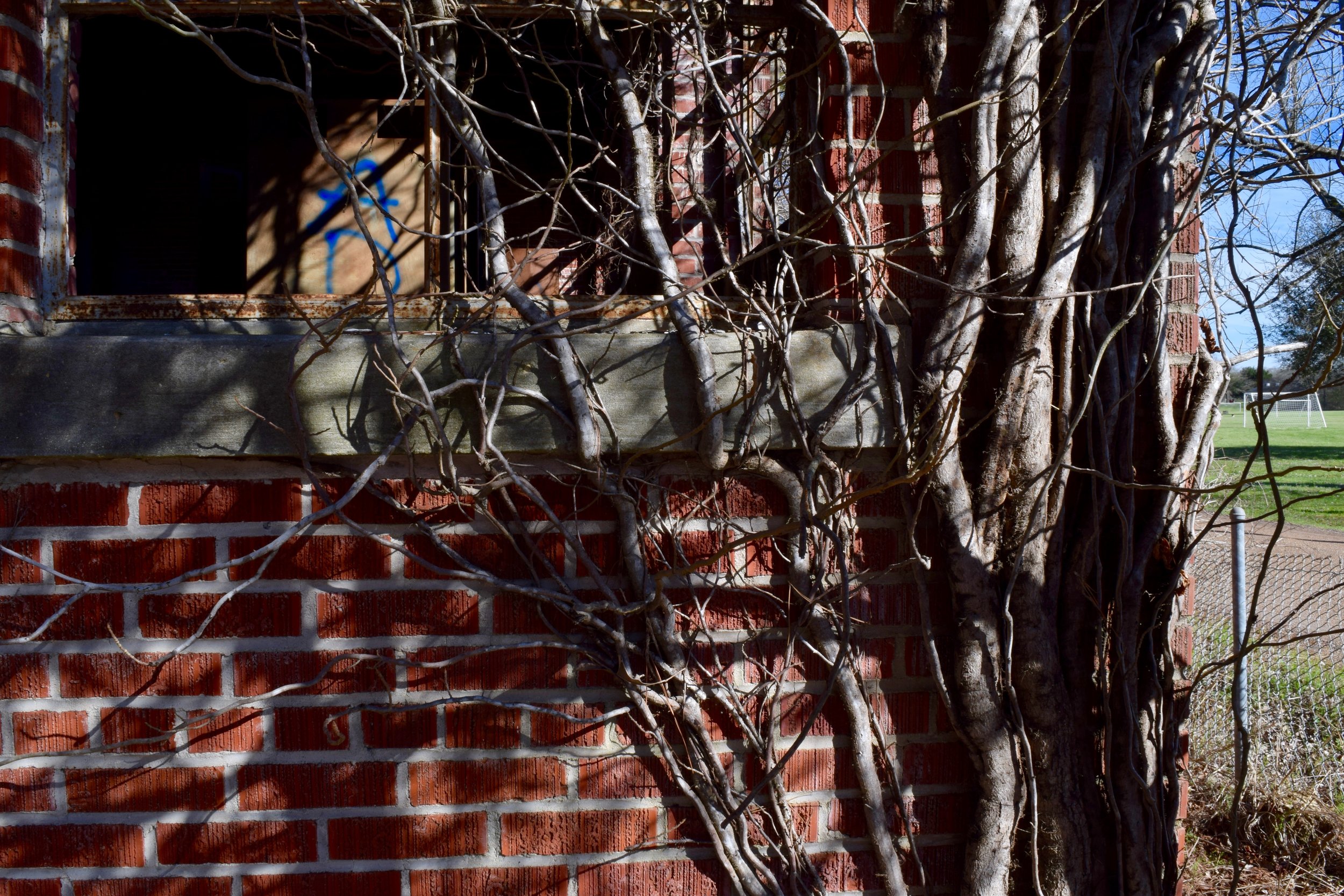
The most interesting thing I've seen these past few days, however, is the Mississippi River Basin Model. I couch surfed with two guys in Jackson, Mississippi who were nice enough to let me stay an extra night so I could explore more. I'm so glad I did! Remember how I told you I like to check Atlas Obscura? This is one of those places worth checking out. Keep in mind, if you go here, you will have to climb through some bushes to get to the site. This is the largest small scale model ever built, expanding over 200 acres. After the great Mississippi flood in 1927, engineers wanted to come up with a new way to prevent such devastation. They built levees and passed laws only to have it happen again ten years later. So, they decided a new approach was needed. It took 26 years to complete and, finally finished in 1966, it was used a hydraulic model, allowing engineers to simulate weather and flooding in the area with greater accuracy. You can still see the pump stations and hoses where water would have been flowing to/from. Unfortunately, by the time the model was completed it was only a short while until computer modeling would make its appearance and the model became a waste of manpower. It did have a good run though, in 1952 it actually was used to help prevent major flooding in Omaha. Now the model sits, abandoned, and in surprisingly good shape. Getting there, I had the directions from the website - enter Buddy Butts Park, pass the golf stand, go 1/4 mile up the road, and park across from the derelict building. That's it, that's all they told me. Here's what they didn't tell you - do that then walk behind the two abandoned buildings. There will be a dirt road that winds behind the two and passes a third building. If there's graffiti all over that third building, you're doing it right. Straight ahead you should see a ton of bramble and trees, head that way, the model is on the other side. The old ramps built to overlook the model are now engrossed in branches and I very cautiously went up them for a better view. Fun fact - the model is on Mississippi Heritage Trust's 10 most endangered list. Knowing that fact made me question whether I should be walking all over it. I stepped carefully as I went father into the middle of the park. It's amazing how kids are playing soccer and golf around this historic site without even knowing it's there. You can tell they built it in slabs and then placed them in, the corners of each piece are numbered, presumably so they knew what piece went where. I found a fellow explorer when I was there, Roberta. Originally from Seattle, she has been traveling since May doing exactly what I've been doing; seeing all the obscure places and National Parks in the United States. Walking as far back as we could, we found parts that were more detailed with mountain ranges, small rocks that were permanently stuck making it look polka-dotted, and even climbed a fence to the old water tower. It was really awesome having someone to explore such a cool place with. I wish there was more known about the details of the model. For now, I will just have to imagine what it looked like in it's hey-day.
I've been in Nashville for two nights and a day with two of my favorite babes. I can't wait to tell you all about it. I love it so far.
'Til next time!
- G.
The Photo:
A detailed chunk of the Mississippi River Basin Model.
Jackson, Mississippi.
3/2/17.
Below: an old postcard of the Model.